Summit Convening Partners
Contributing partners


Follow us


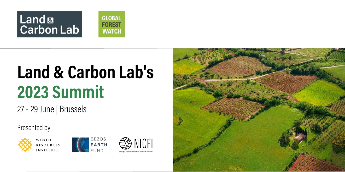
Land and Carbon Lab's 2023 Summit
Land & Carbon Lab’s Summit is the premier global conference for policy-makers, practitioners, and other innovators seeking to harness the power of geospatial data and monitoring towards this decade’s nature and climate goals. The 2023 Summit will convene over 500 participants, connecting scientists and technologists at the frontiers of the geospatial data revolution with decision-makers and implementers on the frontlines of land management.
The 2023 Summit will enable participants to share knowledge, strengthen collaborations, and make new connections, with the aim of advancing the development and deployment of geospatial monitoring across eight action areas:
- Accelerating implementation of locally-led landscape restoration
- Tackling deforestation and nature crime
- Strengthening community-led land stewardship
- Ensuring accountability for conversion-free supply chains
- Enhancing policy and finance mechanisms for nature-based solutions
- Planning land use for more sustainable food systems
- Transparently tracking progress towards global commitments
- Creating more equitable, sustainable and resilient urban areas
List of topics:
- Cities and Urbanization: Cities are the fastest growing land use globally. The choices being made now about how they grow have significant impacts on the health and resilience of people within and outside of urban areas, and on the sustainability of land uses beyond the urban edge. Urban growth can consume productive agricultural land, put pressure on biodiversity and natural resources and create polluting, expensive, vulnerable and socially isolating cities. But cities can also be a solution to unsustainable land use. They improve efficiency of economic activity, reduce resource consumption and connect people to services and opportunities. Sessions in this action area will assess these risks and opportunities related to urban land and identify how growth can be managed to make it more sustainable for people, nature and the climate.
- Community-led Land Stewardship: Indigenous Peoples and Local Communities are the largest group of private landholders on Earth, with an estimated 50% of the world’s terrestrial land legally or customarily held by communities. In addition to being the ancestral home of over 370 million Indigenous Peoples, community lands provide ecosystem services to billions more, such as carbon sequestration, biodiversity conservation, and watershed protection. Yet many of these lands are under threat from illegal encroachment and land grabbing. Despite ample evidence that communities have been effective at maintaining ecosystem integrity and sustainably managing resources, only a tiny percentage of climate funding ever reaches communities and livelihood options can be limited. Recent technological advances in remote sensing and computational power have enabled a more robust understanding of the dynamics of land cover change and related carbon fluxes. However, the integration and representation of community perspectives within global land data has lagged. The community-led land stewardship action area aims to bring community representatives and their allies together to share peer-to-peer learning on innovative uses of geospatial data for territorial defense, securing land rights, and mobilizing finance, and promote dialogue between communities, policymakers, researchers, and tech providers to better incorporate community needs into policy, data and tech solutions.
- Conversion-free Supply Chains: Agriculture, forestry, and other land use accounts for approximately 25% of global emissions. In response to this, many supply chain actors have committed to be part of the solution and have pushed forward efforts to address deforestation, conversion, and associated emissions. This action area will focus on how satellite data and monitoring can support these efforts. This includes sessions on opportunities and challenges for unlocking the full potential of data and monitoring, and experiences and lessons learned on their use for driving impact. It also includes sessions on how data and monitoring can be effectively deployed to help meet voluntary and regulatory goals, including the EU Deforestation Regulation.
- Cross-cutting Data and Technology Sessions: The sessions focused on data and technology cut across all action areas. Join the scientists producing best-in-class geospatial land monitoring data and land use mapping for candid discussions on the state of data today and challenges and opportunities for using data to deliver on climate, nature and development goals. Technology leaders will share examples of best practices in the technology that underly data and action work today and will preview of what’s coming tomorrow. Focus topics include sensors and satellites; backend and algorithms; and frontends, maps, and interfaces.
- Deforestation and Nature Crime: Satellite monitoring is an increasingly important tool for deterring, detecting and sanctioning illegal logging and deforestation as well as related crimes such as illegal mining and wildlife poaching and trafficking. This action area will review the state of the art for applying monitoring for legality and enforcement purposes. It will illuminate how monitoring fits into the broader landscape of investigative, intelligence and accountability tools to reduce criminal activity affecting forests. The sessions will look not only at the uses of geospatial information by enforcement authorities, but also how such tools and information can support media, watchdog and other efforts to expose the epidemic of forest crime that remains a key barrier to more sustainable stewardship of the world’s forests.
- Global Targets: The last few years have seen new commitments to address climate and nature crises at the global level. In the Glasgow Leaders’ Declaration, countries have pledged an end to forest loss and land degradation by 2030. The Kunming-Montreal Global Biodiversity Framework aims to halt and reverse biodiversity loss, articulating the vision of a healthy planet by 2050 and global targets to be achieved by 2030. But what does accountability for these global commitments look like? This action area will discuss how progress towards biodiversity and forest goals can be monitored, particularly through geospatial data.
- Landscape Restoration: Restoring degraded land can bring prosperity to communities, sequester planet-warming carbon dioxide, and protect biodiversity. But monitoring that impact can be complicated, especially when it goes beyond counting trees. The Landscape Restoration action area dives deep into the cost-effective and highly accurate techniques and datasets that community-based organizations, enterprises, and government agencies use to measure their progress. Join us to understand the biggest challenges facing the restoration sector – and the latest innovations that are ushering in an era of unprecedented transparency.
- Policy and Finance for Nature-based Solutions: Nature-based Solutions can bring a wide range of benefits, including building more resilient communities, adapting to and mitigating against climate change, and protecting biodiversity. Despite the critical role of nature-based solutions, there remains a large gap in finance for nature-based solutions, with recent estimates showing that over USD $230 billion is needed per year by 2025 to reach global climate, biodiversity, and land degradation targets. This action area will explore through a variety of lenses how well-designed private and government policies and finance mechanisms can help overcome this funding gap. It will also examine the role of data in designing effective policies and finance mechanisms.
- Sustainable Food Future: Today’s food and land use systems cost $12 trillion a year in damage to people and the planet. If we do not transform these systems now, we will face a $4 trillion cost increase per year by 2050. A sustainable food future is one that can feed everyone in sustainable, resilient, equitable and nutritious ways. Land use and land management need to adopt a holistic view of food and land use systems to ensure both human and planetary health. This program will draw on the latest innovations and thought leadership to equip decision makers with joint solutions to our food, environment and climate crises. Drawing from insights across different geographies, this action area will explore: leveraging geospatial data and delivering an outcomes-based framework to scale productive and regenerative agriculture; how geospatial data can help us understand sustainable livestock production and reduce methane emissions; how spatial planning can optimize the power of nature based solutions; and how geospatial data and monitoring can help raise international and national ambition on food and land use systems.