
Visual Intelligence
Information
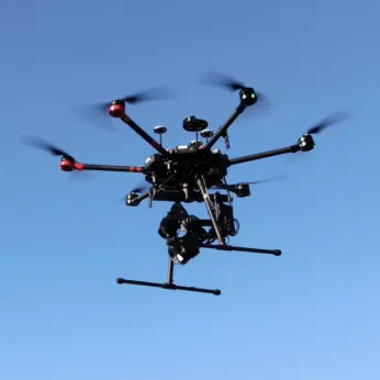
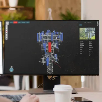
Visual Intelligence is a unified drone sensor and software automation platform that digitizes physical infrastructure with millimeter accuracy to reliably deliver 3D, engineering-grade asset intelligence.
Using patented dual-sensor drone technology and proprietary enterprise software, Visual Intelligence generates billions of datapoints to map exponentially more measurable surface area than any alternative aerial or ground-based method. Our unique sensor-software pairing is the first industry solution that enables enterprises to capture and execute around engineering-grade tower digital twins. By maximizing data fidelity and coverage, we’re exponentially increasing the ability of artificial intelligence to automate performance capacity at an engineering level, feeding insights upstream and across new business units, vendors and geography.