Condition Inspections

Condition Inspections

Products & Services

Information

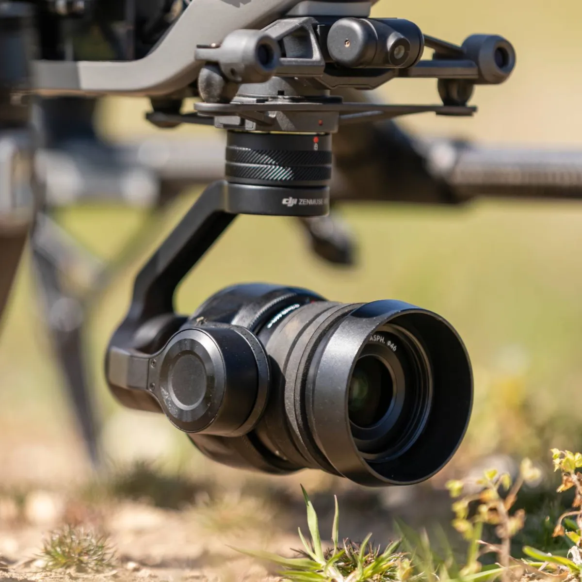
Our visual and thermal sensors provide clients with a general overview of asset condition as well as highly-detailed geolocated data that can be used for condition reporting and to help inform Operation and Maintenance decisions. A wide range of data capture methods and data presentation tools are used by HexCam with the most appropriate methods selected on a project-by-project basis according to our clients’ requirements. The data collected is reliable, clear and easily-accessible allowing our clients to focus on an asset’s condition and planning any remedial work needed rather than having to trawl through GigaBytes of images. HexCam uses online 2D and 3D inspection tools to help asset experts get the views they need to work efficiently and with confidence. Drones provide views of buildings, generation and other critical assets that are often not possible without expensive and potentially hazardous access methods. The risks to people from MEWPs, scaffolding and rope access are significantly reduced as drone inspections are carried out with minimal disruption to business and asset operations. Good quality asset imagery can then be used to focus higher-risk access methods on the right areas.
HexCamVirtual Meeting - HexCamHexCam is a Norwich-based commercial drone operator carrying out UK-wide safe, flexible, cost-effective and non-disruptive aerial image and data capture for the Renewable Energy and Construction sectors. Our focus starts with the ‘deliverable’ needed. Our ‘hardware and software agnostic’ approach uses carefully-vetted partners to select the most appropriate method of capture and processing to deliver digestible data and high-quality imagery to our clients. Our cloud-based survey, mapping and inspection data allow collaboration across large project teams to visualise and analyse up-to-date, independent, high-density survey data. Access is carefully managed, providing analysis tools appropriate to individual project team members. Data can be revisited multiple times and are easily compared with previous captures and design drawings. One of our key projects since 2017 has been progress monitoring on the EA1 cable corridor. Our aerial imagery has helped the team track progress from a high viewpoint, providing video and pin-sharp stills of the 38km route. Reliable and independent high-density topographic survey data of the corridor facilitates objective discussions and decision-making at all stages of construction from site demarcation right through to landscape reinstatement. HexCam generates detailed 3D digital twins of structures. The results can be used collaboratively by multiple disciplines from roofing contractors and scaffolders to familiarise themselves with the condition of the asset through to architects and Facilities Management teams for planning maintenance and renovation work.We also produce, capture and edit beautiful and engaging videos or images for promotional marketing materials, recording history as it’s made. We are one of the longest-established operators in the UK and safety is our highest priority. Working in a range of complex and sensitive environments, we have a zero accident track record.  We can form collaborative project teams across the UK and Europe to deliver the highest quality of drone capture.

Join the event!